


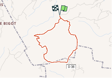

4.1 km | 6 km-effort

User GUIDE


FREE GPS app for hiking
 SityTrail
IGN / Geographical institutes
SityTrail World
The world is yours!
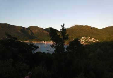
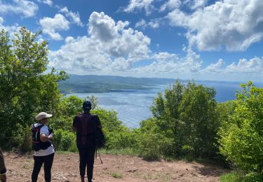
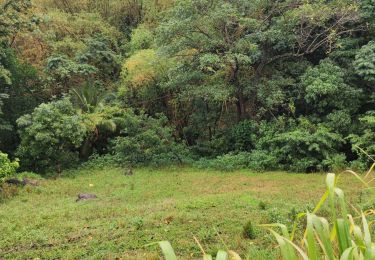
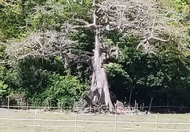
Trail Walking of 5.1 km to be discovered at Martinique, Unknown, Les Trois-Îlets. This trail is proposed by GabyG.
Randonnée un peut corsée. bonne condition physique. montés et descentes un peu raides.


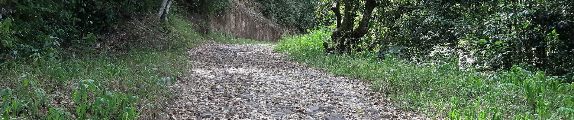
Walking

Walking
Walking
Walking
Walking
Walking
Walking
Walking

Walking
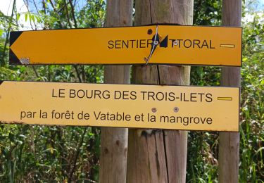
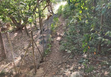
This trail is 'Trace La Pagerie' it is clearly marked on the IGN le Marin 4503MT map. It is noted on google maps but one of the icons is in the wrong place on google. We have tried this route from both ends but could not complete the circuit. It is frustrating because travelling anti clockwise from the start we knew we could only be metres away from the forest trail descending from La Bertrand. This trail needs to be opened up before the trail is overgrown and lost